Intelligent coastal boundary surveillance
National Defense
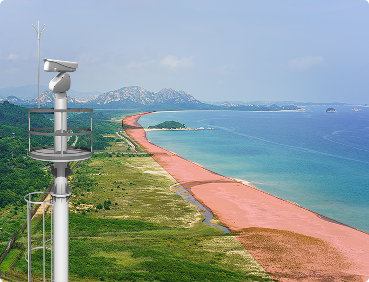
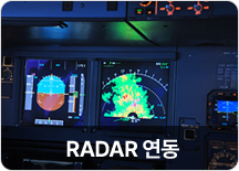
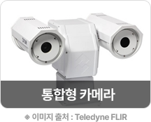
The intelligent coastal boundary surveillance systemmonitors and tracks targets through RADAR linkage, intelligently realizing maritime boundaries through application of ultra-high-magnification general-type cameras, thermal imaging cameras, virtual lines within surveillance areas, and RoI.
Participated in Jeju Island and Ulleungdo
Intelligent Coastal Boundary Project
- Linkage
system
-
- · (Target information) Ground RADAR
- · (Voice information) VHF
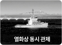
- · (Video information) ToD thermal surveillance camera
- · (Weather information) weather sensor
- · er sensor (Tracking information) Drone
- · (Vessel information) AIS, V-PASS
- Video
information
collection
-
- · Thermal imaging camera with day and night surveillance capability up to 15km (ToD)
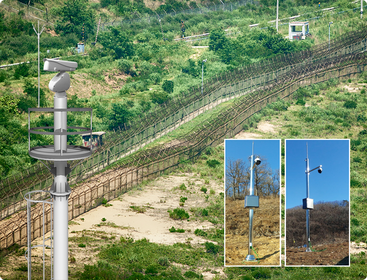
- · Auxiliary video camera equipped with a laser irradiator for monitoring up to 2Km
- · Camera technology considering the coastal environment (dustproof, waterproof, and windproof)
- Situation
control
solution
-
- · Display of information that integrates RADAR / AIS / V-PASS information into a single target
- · DB design considering Korean E-Navigation
- · International format IVEF design linked to VTS system
